
Services
Call today to discus your project and schedule a quote. (604) 800-3932
Building Permits
We provide building permits if you’re planning on constructing, demolishing or renovating a building. There are different policies across different districts, and we’re careful to get everything right on your behalf so we can help you protect your property and overall investment. We are very knowledgeable with the different codes and zoning bylaws that are present in Burnaby and all the surrounding municipalities
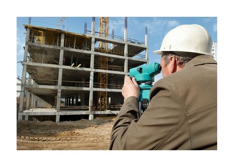
As-Built New Construction
After a new home has been constructed, an as-built survey is completed for a certificate of occupancy. We make sure to describe the property accurately when it comes to elevation, modifications, external elements, utility locations and municipal guidelines. Using ground level topography information, we can update the base map to reflect the current state of the building site
Surveying for Subdivisions
Creating a subdivision from scratch is a pretty involved project. Taking one lot and turning it into multiple lots requires a lot of planning. In many cases this work will require close contact with the local municipalities, neighbors that are nearby, engineers and surveyors. As a land surveyor, we have worked on many projects that have requires us to separate very large parcels with precision, while adhering to budget and very specific requirements.
Restrictive Covenants
A municipality has the right to restrict certain parts of a property to ensure that certain requirements are adhered to before a construction project can take place. Many municipalities use these covenants to make sure that a house will remain an acceptable size on a certain sized parcel of land or is not constructed over existing infrastructure. We provide assessment services to create these types of covenants to preserve the surrounding areas.
Easements
Accurate easement assessments can help you clarify the rights of a property owner along with the rights of another nearby property owner. If you have a structure that overlaps another neighbor’s property (such as a garage or shed), an easement is required to achieve rights for your property so you don't have to come along and move anything at any point in time. Property boundaries must be clearly outlined so all of the involved parties understand what is theirs.

Building Location Certification
When you purchase a home, you will need to provide a building location certificate to the bank that you’re using for your financing. This building location certificate will outline things like right of ways that are located on the lot, a description of the lot and the structures that are currently located there. We will precisely determine where property lines are using new and old information. Our records along with land title office records help us to piece together a proper report. You can also use this certificate for home renovations that require a report of the house location.
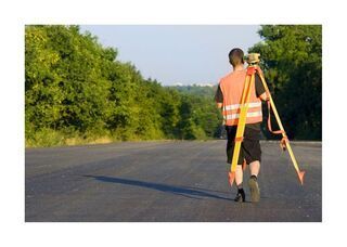
The Boundaries of a Property
You’ll want to know where your property boundaries are if you’re building a new structure, building a fence, landscaping a large area, etc. You don’t want to construct something in an improper location. This would result in some pretty big expenses to correct the issue. We can guarantee an accuracy of about 0.003 meters for property lines and corners.
Strata Planning
Strata surveys and planning can be very complex when you’re looking at various condos or structures on one parcel of land. We have staff that are specialized with this kind of work to ensure that all requirements are being adhered to while sticking to a specific budget. We’re often dealing with specifications that include a lot of different parameters, and it’s important that we’re able to get everything right.
Air Space Plans
There are many developments that require an air space plan to be completed prior to the start of a construction project. We are able to provide you with an accurate air space survey that can be used for your specific project. The land that you’re working with extends both above and below the property. You can use an air space plan to divvy up the land vertically in order to title a specific volume of air above or below. We usually provide these services for extremely large commercial projects where a building will rise into the air many stories. We have a few different techniques that we use to provide information for an air space plan. In some cases, traditional surveying works well. There are some instances where we need to use advanced equipment to obtain our information.


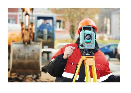
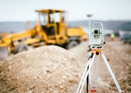
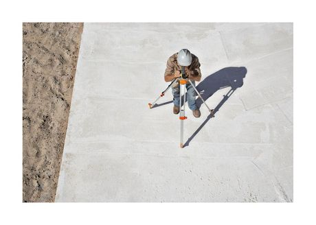
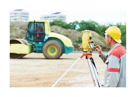
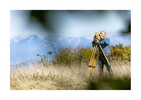
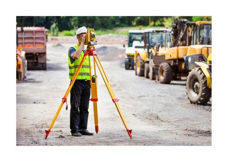
Construction Surveys
Regardless of how big or small your proposed construction project is, it’s imperative that you have a construction survey to detail the proposed structure in comparison to the property lines that you’re working with. This protects the owner and the municipality. We can provide you with a construction survey that is accurate down to the milimetre. We also provide a topographic survey to outline the building grade for your proposed structure.
Drone Surveying
Our drone surveys provide measurements and information that we could never obtain on foot. The data that we obtain from an aerial view can be used with Photogrammetry to provide affordable results. While this was once a very expensive process, we have developed methods for keeping the costs under control. We are familiar with the Canadian Aviation Regulations that allow us to safely fly our drones in a specific air space.


Leases
When dealing with a lease, the owner or a building and the tenants have to clarify what everyone’s rights are. Measuring the leased area within the building or subdivision survey will comply with municipality standards for a property that is going to be leased for more than three years time. Measurements of the surrounding land may also be completed for subdivision survey purposes. This is a very intricate survey that will provide specific boundaries for everyone involved to adhere to moving forward. It can also be used in the future if any part of the agreement is breached by either of the parties involved in the lease agreement.
BURNABY SURVEYING
Topographic, Posting, Subdivision and Construction Surveys.
Burnaby and the Surrounding Lower Mainland.
Call For a Quote